Apache Trail & Canyon Lake Day Trip from Phoenix
Saguaro canyons above a reservoir, an hour from the suburbs
Phoenix from Phoenix: 71 mi round trip, about 1h 21m behind the wheel, planned hour by hour.
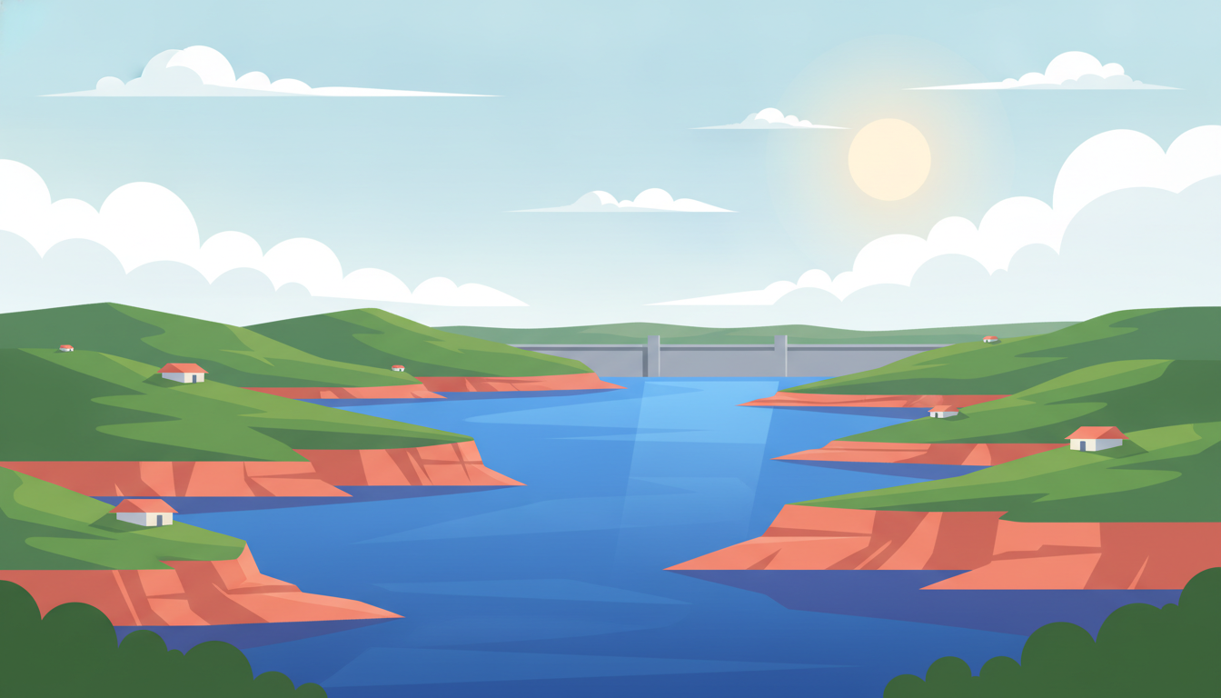
Saguaro canyons above a reservoir, an hour from the suburbs. It's a day out of Phoenix: 71 mi of driving in total, about 1h 21m behind the wheel, and the rest of the day on your feet.
The plan below is paced so the driving doesn't eat the day: leave after breakfast, be back for the evening. Every stop can be swapped for one of three alternatives if it isn't your kind of thing.
Desert peaks in the morning, an Old West town by lunch, and turquoise water against red rock before the drive home.
The park sits just minutes north of town, right at the foot of the mountains you'll see all day.
Lost Dutchman State Park · Apache Junction
Iconic jagged desert range with drive-up and easy-walk viewpoints over the Sonoran Desert — no climbing needed.
💡 Small day-use fee at the entrance station; go early for cooler temps and soft light on the cliffs.
6109 N Apache Trail, Apache Junction
A short drive back down from the overlook brings you to this old mining settlement at the mountains' base.
Goldfield Ghost Town and Mine Tours Inc. · Apache Junction
Reconstructed 1890s mining town with boardwalks, old storefronts and a narrow-gauge train ride, all flat and easy walking.
💡 Rides and mine tours cost extra and are cash/card on-site — no advance booking required.
4650 N Mammoth Mine Rd, Apache Junction
Just a few minutes' drive from Goldfield, on the way back toward the Apache Trail turnoff.
Skies Bar and Grill · Apache Junction
Relaxed Apache Junction eatery serving Southwestern comfort fare, a popular stop for travelers heading out on the Apache Trail.
💡 Walk-in only, no reservations — arrive right at opening for lunch to skip any wait.
945 E Scenic St, Apache Junction
Continue a short stretch along the scenic Apache Trail (AZ-88) to reach the lake's overlook.
Canyon Lake
Turquoise reservoir ringed by red rock cliffs along the Apache Trail, with an easy lakeside overlook and picnic areas.
💡 Pull-offs along AZ-88 give postcard views without leaving the car if time is short.
Canyon Lake
- Fill up on gas before AZ-88 — services thin out past Apache Junction.
- Lost Dutchman State Park charges a small per-vehicle day-use fee, pay at the self-serve station.
- Apache Trail (AZ-88) has tight curves — take it slow, especially near Canyon Lake.
- No low-emission zones here; regular parking lots at all stops, no permits needed.
- Tortilla Flat+16 mi
Tiny historic trading-post stop further along the Apache Trail with an old-fashioned saloon feel.
- Superstition Mountain Museum+2 mi
Small roadside museum on Lost Dutchman lore and local mining history, an easy add near the park.
- Boyce Thompson Arboretum+19 mi
Arizona's oldest and largest botanical garden, an easy flat stroll through desert plant collections.
Make this trip your own
Plan your own road trip →This route was drafted with AI. Please double-check roads, opening hours and local conditions before you go.
Made with Roadanza
What will the fuel cost?
This route covers 71 mi. Put your own car's consumption and local fuel price in and you'll have the number in a few seconds.
Work it out for this route →Questions, answered
- How far is Sedona from Phoenix?
- About two hours by car, roughly 190 km up I-17 and then east. It is the single most popular day trip from the city, which means the trailhead car parks fill by mid-morning at weekends: arriving before eight makes the difference between parking and circling.
- Can you visit the Grand Canyon in a day from Phoenix?
- The South Rim is about three and a half hours each way, so it is a long day: eleven or twelve hours door to door with only two or three hours at the rim. It works if the drive is part of the plan; it is far better as an overnight in Flagstaff or Tusayan.
- When is the best time for day trips from Phoenix?
- October to April. Winter is the region's high season for a reason: clear, dry days in the low twenties. From June to September, restrict yourself to the high country: Flagstaff, the Mogollon Rim, or to water, and start at dawn.
- Which of these works in summer?
- The high-elevation ones: Flagstaff at 2,100 m and the Mogollon Rim are usually fifteen to twenty degrees cooler than the valley. Canyon Lake works too if you're on the water rather than beside it. Saguaro country and the low desert are for the cooler months.
Other routes you might like
Sedona Day Trip from Phoenix
Red sandstone buttes, creekside trails and the drive up Oak Creek Canyon
1 day · 234 mi
Jerome & Prescott Day Trip from Phoenix
A mining town clinging to a mountainside, then Victorian Prescott
1 day · 249 mi
Flagstaff Day Trip from Phoenix
Ponderosa pine at 2,100 m — the valley's escape from summer
1 day · 295 mi