Glendalough & the Wicklow Mountains Day Trip from Dublin
A monastic round tower between two lakes, over a mountain gap road
Dublin from Dublin: 124 km round trip, about 2h 48m behind the wheel, planned hour by hour.
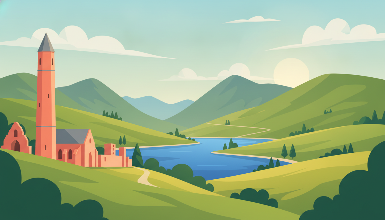
A monastic round tower between two lakes, over a mountain gap road. It's a day out of Dublin: 124 km of driving in total, about 2h 48m behind the wheel, and the rest of the day on your feet.
The plan below is paced so the driving doesn't eat the day: leave after breakfast, be back for the evening. Every stop can be swapped for one of three alternatives if it isn't your kind of thing.
Monastic ruins and a mirror-still lake in the morning, a valley of dark water and white sand on the way home.
The road climbs steadily out of the lowlands into open moorland before dropping toward Glendalough.
Sally Gap
A high mountain pass over blanket bog with sweeping views across the Wicklow uplands, a natural stop en route.
💡 Pull-offs are informal and narrow — park carefully and watch for cyclists on the descent.
Cloghoge, Sally Gap
This walled cluster of ruins is the reason to come to Glendalough at all.
Glendalough Cathedral · Glendalough
A remarkably intact early-medieval monastic settlement with a round tower and stone churches set between two lakes.
💡 Visitor centre car park fills by late morning in summer — arrive early.
Sevenchurches Or Camaderry, Glendalough
A short walk from the monastic ruins leads to the valley's second, quieter lake.
Glendalough Upper Lake · Lugduff
A glacial lake ringed by wooded valley walls, with a flat lakeside path giving the classic Wicklow view without any climbing.
💡 The lakeshore path from the car park is level and easy — allow 30-40 minutes at an easy pace.
Lugduff
A few minutes' drive down the valley to Laragh village for a proper meal before heading home.
Wicklow Heather Restaurant | Glendalough · Laragh
A well-regarded countryside restaurant in nearby Laragh known for hearty Irish dishes using local produce.
💡 Popular with day-trippers at lunchtime — go slightly early or late to skip the rush.
Glendalough Road, Brockagh, Laragh
On the return route north, the road passes directly above this famous valley view.
Lough Tay · Ballinastoe
A dramatic dark lake beneath a white sand beach and steep slopes, viewable from a roadside overlook — no walking required.
💡 Best viewed from the signed roadside pull-in on the R759 — the beach itself is private land.
Ballinastoe
Nothing stops you at the road, so this is on you to settle. The M50 around Dublin has no barriers — pay online by 8pm the next day or it becomes a penalty.
Buy at www.eflow.iePrice checked 2026-07-30 — confirm on the official site.
- Book nothing in advance — all Glendalough sights are walk-in, but arrive early for parking.
- Fill up with fuel before leaving Dublin; petrol stations thin out in the mountains.
- The R115 and R759 mountain roads are narrow and winding — allow extra time, especially in poor weather.
- Return route via Sally Gap and Lough Tay can close in winter fog or snow — check conditions if travelling off-season.
- Powerscourt Waterfall+15 km
Ireland's highest waterfall, a short easy walk from the car park, roughly on the way back toward Dublin.
- Glenmalure Valley+20 km
A quieter, less-visited glacial valley south of Glendalough with a dramatic dead-end drive.
- Russborough House+18 km
A grand 18th-century Palladian house with formal grounds, a pleasant stop on the road back toward Dublin.
Make this trip your own
Plan your own road trip →This route was drafted with AI. Please double-check roads, opening hours and local conditions before you go.
Made with Roadanza
What will the fuel cost?
This route covers 124 km. Put your own car's consumption and local fuel price in and you'll have the number in a few seconds.
Work it out for this route →Questions, answered
- Are the Cliffs of Moher really doable in a day from Dublin?
- Yes, but it is a long one: roughly three hours each way, so plan on ten to eleven hours door to door. It works best if you make the drive part of the point and add the Burren on the way back, rather than treating it as a single stop.
- Do I need to pre-book Newgrange?
- Yes. The passage tomb can only be visited on a guided tour from the Brú na Bóinne visitor centre, tours sell out in summer, and you cannot drive to the monument itself: the shuttle from the centre is the only access. Book before you drive.
- What about the M50 toll?
- The eastbound and westbound toll at Junction 6–7 is barrier-free: cameras read your plate and you pay by 8pm the next day online. Hire companies charge an administration fee on top if they pay it for you, so do it yourself the evening you drive.
- Which day works best in bad weather?
- Kilkenny: the castle, the medieval mile and the brewery are all indoors or short hops. Glendalough is fine in drizzle and better without crowds, but the upper lake walk turns to mud.
Other routes you might like
Boyne Valley Day Trip from Dublin
Neolithic passage tombs older than the pyramids, plus Trim Castle
1 day · 88 km
Kilkenny Day Trip from Dublin
A castle, a medieval mile and Ireland's best-preserved old city
1 day · 247 km
Howth Day Trip from Dublin
A fishing harbour and a cliff loop with Dublin Bay below
1 day · 31 km