Iceland Ring Road Itinerary: 8 Days Around the Island
Waterfalls, black beaches and fjords on Route 1.
An 8-day Iceland ring road itinerary from Reykjavík — waterfalls, black-sand beaches and fjord drives, paced day by day around the whole island.
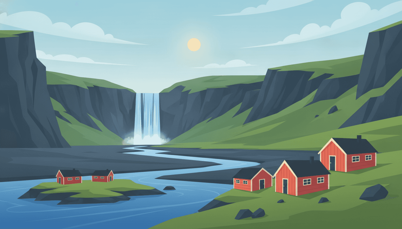
The Ring Road is a 1,330 km loop around the edge of Iceland, and the reason it works as a trip is that the island keeps changing character as you go: waterfalls and black beaches in the south, fjords in the east, lava fields and whale towns in the north, then the Snæfellsnes peninsula as a final act before Reykjavík.
Two things decide how this trip goes, and neither is the route. The first is season: summer gives you daylight almost around the clock and open highland roads; winter gives you the aurora and a real chance of a road closing for a day. The second is wind: Icelandic weather changes hourly, and the official road and weather sites are consulted every morning by everyone driving there, not just tourists.
Your days
From Reykjavík's tower you drive the Golden Circle geysers and waterfalls, then follow the south coast's spray toward black-sand Vík.
Your Ring Road loop begins right here in the capital.
First stop of the Golden Circle, a short detour off the direct southern route.
Overnight in Vík í Mýrdal
- View
Grand Guesthouse Gardakot
guesthouse · 7.7 km from the centre★ 4.9 · Garðakot, Vík - View
Prestshús 2 Evening Sun Guesthouse
guesthouse · 1.6 km from the centre★ 4.9 · Vik - View
Black Beach Suites
hotel · 3.2 km from the centre★ 4.8 · Norðurfoss - View
Browse places to stay
Vík í Mýrdal
Booking happens on the partner's site.
- Book Þingvellir parking via the official app to skip the machine queue
- Fuel up in Selfoss — stations thin out along the south coast
- Reykjavík hotel checkout is early; luggage fits easily for a one-night loop start
- Kerið Crater+15 km
A striking red volcanic crater lake, 15 km detour off the Golden Circle route.
- Friðheimar Tomato Farm+5 km
Geothermal greenhouse restaurant, a quirky roadside stop near Geysir.
Black sand beach at dawn, glacier ice by lunch, floating icebergs by evening — the day the landscape turns otherworldly.
A five-minute drive from Vík out to the coast to start the day.
The glacier lagoon sits right beside the highway, impossible to miss.
Overnight in Höfn
- View
Haukaberg House
guesthouse · 7.3 km from the centre★ 4.9 · Hraunhóll, Nesjahverfi - View
Dynjandi Guesthouse
guesthouse · 6.5 km from the centre★ 4.7 · Dynjandi, Höfn - View
Old Airline Guest House
guesthouse · 0.2 km from the centre★ 4.6 · Hafnarbraut 24, Höfn Hornafirði - View
Browse places to stay
Höfn
Booking happens on the partner's site.
- Fill the tank in Vík — next reliable stations are near Höfn
- Reynisfjara has no barriers; keep well back from the waterline
- Höfn is Iceland's lobster capital if you want a seafood dinner stop
- Fjallsárlón+15 km
A quieter sister lagoon to Jökulsárlón with closer glacier views, 15 km detour.
- Vestrahorn Mountain (Stokksnes)+20 km
Dramatic black-sand dunes beneath jagged peaks, a short detour past Höfn.
Fjord villages and mountain passes lead you inland to Iceland's unlikely forest country.
A short detour south of Egilsstaðir on the lakeshore.
Overnight in Egilsstaðir
- View
Hotel 1001 Nott
hotel · 4.5 km from the centre★ 4.8 · Álfaás 1, Egilsstaðir - View
Finnsstaðir Holiday Home
guesthouse · 3.3 km from the centre★ 4.8 · Egilsstaðir, IS Finnstadir 1b - View
Tehúsið - Café, Bar, Guesthouse & Hostel
guesthouse · 0.3 km from the centre★ 4.7 · Kaupvangur 17, Egilsstaðir - View
Browse places to stay
Egilsstaðir
Booking happens on the partner's site.
- Fuel and groceries are more limited through the fjords — top up in Djúpivogur
- Fjarðarheiði pass can be foggy; drive with headlights on
- Egilsstaðir is the main East Iceland hub for services
- Petra's Stone Collection (Stöðvarfjörður)+25 km
A remarkable private mineral and stone collection in a fjord village, small detour off Route 1.
- Hengifoss+30 km
Iceland's third-tallest waterfall framed by striped basalt-and-clay cliffs, near Lagarfljót.
Thundering canyon water gives way to hissing sulphur vents and a soak in milky-blue lagoon water by dusk.
Just across the ridge from the lake, a quick stop on the way in.
Overnight in Mývatn
- View
Safarihestar
guesthouse · 10 km from the centre★ 4.9 · Álftagerði 3, Mývatn - View
Vogafjós Farm Resort
guesthouse · 1.9 km from the centre★ 4.6 · Vogar, Myvatn - View
Fosshotel Mývatn
hotel · 2.9 km from the centre★ 4.6 · Grímsstaðir, Skútustaðahreppur - View
Browse places to stay
Mývatn
Booking happens on the partner's site.
- The Dettifoss east road (864) is gravel and slower than it looks on the map
- Book Mývatn Nature Baths online — it sells out in peak summer
- Fuel up before the Dettifoss detour, services are sparse
- Ásbyrgi Canyon+60 km
A horseshoe-shaped forested canyon, said in legend to be a hoofprint of Sleipnir, further north.
- Grjótagjá cave+5 km
A small lava cave with a geothermal pool, made famous by Game of Thrones, near Hverir.
A short, easy day: one great waterfall, then the relaxed capital of the north for the afternoon.
A short walk up from the harbour area into the town centre.
Overnight in Akureyri
- View
Hafdals Hotel
guesthouse · 3.2 km from the centre★ 4.9 · MX88+G28, Stekkjarlækur, Akureyri - View
Sunnuhlid houses
guesthouse · 8.2 km from the centre★ 4.8 · Sunnuhlid houses, Akureyri - View
Hrimland Cottages
hotel · 3.9 km from the centre★ 4.8 · Hálönd Hlíðarfjalli, Hrímland 3, Akureyri - View
Browse places to stay
Akureyri
Booking happens on the partner's site.
- Akureyri has metered street parking downtown; hotel parking is easier
- This is a lighter driving day — use the extra time to walk the harbour
- Hrísey Island+40 km
A short ferry ride to a peaceful island known for arctic tern colonies and hiking trails.
- Siglufjörður+75 km
A picturesque herring-era fishing town with a fascinating herring era museum, further along the coast.
A long westward coastal haul rewards you with a hidden gorge and Iceland's strangest, gentlest waterfalls.
A worthwhile detour inland before settling into Borgarnes for the night.
Overnight in Borgarnes
- View
Panorama Glass Lodge West
hotel · 3.9 km from the centre★ 4.9 · Hafnarland Lísuborgir, Akranes - View
Bjarg Borgarnes
guesthouse · 1.8 km from the centre★ 4.8 · Bjarg, Borgarnes - View
Kría Cottages
hotel · 7.2 km from the centre★ 4.7 · Skeljabrekka 311, Hvanneyri - View
Browse places to stay
Borgarnes
Booking happens on the partner's site.
- This is one of the longer driving days — start early from Akureyri
- Fuel up in Blönduós, options thin out on the inland stretch to Borgarnes
- Borgarnes has an easy free car park near the town's peninsula centre
- Grábrók Crater+10 km
A short, easy climb up a volcanic crater with panoramic views, right off Route 1.
- Glanni Waterfall+15 km
A pretty forested waterfall near Bifröst, said to be home of hidden folk in legend.
Iceland's famous arrowhead mountain in the morning, a clifftop hike beneath a glacier volcano by afternoon.
The glacier volcano dominates the skyline as you reach the peninsula's tip.
Overnight in Snæfellsjökull area / Ólafsvík
- View
Adventure Hotel Hellissandur
hotel · 8.5 km from the centre★ 4.6 · Klettsbúð 9, Hellissandur - View
Bikers Paradise
hotel · 0.7 km from the centre★ 4.5 · Sandholt 45, Ólafsvík - View
Browse places to stay
Snæfellsjökull area / Ólafsvík
Booking happens on the partner's site.
- Snæfellsnes roads are mostly paved but check weather before the coastal loop
- Arnarstapi–Hellnar trail can be muddy; wear real hiking boots
- Ólafsvík has limited fuel stations — top up before dark
- Djúpalónssandur beach+15 km
A black pebble beach with shipwreck remains and old lifting stones once used to test fishermen's strength.
- Bjarnarhöfn Shark Museum+20 km
A quirky small museum on fermented shark tradition, a curious detour on the peninsula's north shore.
The loop closes: one last peninsula beach, a fjord-side drive, and you're back where you started.
Overnight in Reykjavík
- View
CityHub Reykjavik
hotel · 0.8 km from the centre★ 4.8 · Hverfisgata 46, Reykjavík - View
Iceland Parliament Hotel, Curio Collection by Hilton
hotel · 0.2 km from the centre★ 4.7 · Thorvaldsenstræti 2-6, Reykjavík - View
Midgardur by Center Hotels
hotel · 1.5 km from the centre★ 4.5 · Laugavegur 120, Reykjavík - View
Browse places to stay
Reykjavík
Booking happens on the partner's site.
- The Hvalfjörður tunnel toll saves time; the old fjord road is free and scenic
- Return your rental car with a full tank — check the depot's fuel policy
- Reykjavík city centre has restricted parking zones; use a public garage near the hotel
- Whales of Iceland exhibition+0 km
Life-size whale models in Reykjavík harbour district, a good rainy-day wind-down before departure.
- Sky Lagoon+10 km
A geothermal infinity pool overlooking the ocean just outside Reykjavík, a relaxing final soak.
This route was drafted with AI. Please double-check roads, opening hours and local conditions before you go.
Questions, answered
- How many days do you need for Iceland's Ring Road?
- Eight is the honest minimum for the full loop with time to stop; ten is comfortable. Doing it in six means long driving days and skipping either the east fjords or Snæfellsnes.
- Can you drive the Ring Road in winter?
- Yes, with caution and a 4x4. Daylight is short, storms close roads at little notice, and some detours add hours. Check road.is and vedur.is every morning: locals do, and build slack into the plan rather than a fixed nightly booking.
- Do I need a 4x4 for the Ring Road?
- Not in summer for the Ring Road itself, which is paved the whole way. You do need one for the F-roads into the highlands, and it is strongly advisable in winter.
- What does a road trip in Iceland cost?
- More than most European road trips: fuel, food and accommodation are all expensive, and the distances are long. Budgeting the fuel first is worth doing: at Ring Road distances it is a significant line rather than an afterthought.
Worth reading first
Other routes you might like
Ireland Road Trip: A 7-Day Loop from Dublin
Cliffs, castles and green roads in one circuit.
7 days · 1,140 km
Scotland Road Trip: 7 Days of Highlands from Edinburgh
Lochs, glens and castle ruins beyond the city.
7 days · 950 km
Portugal Road Trip: Lisbon to Porto in 7 Days
The Atlantic coast, one unhurried stretch at a time.
7 days · 626 km