NC500 Route: 7 Days Around Scotland's North Coast 500
Single-track coast, sea cliffs and the far north.
The NC500 route driven properly in 7 days from Inverness — Applecross, Torridon, Durness and John o' Groats, with drive times and single-track advice.
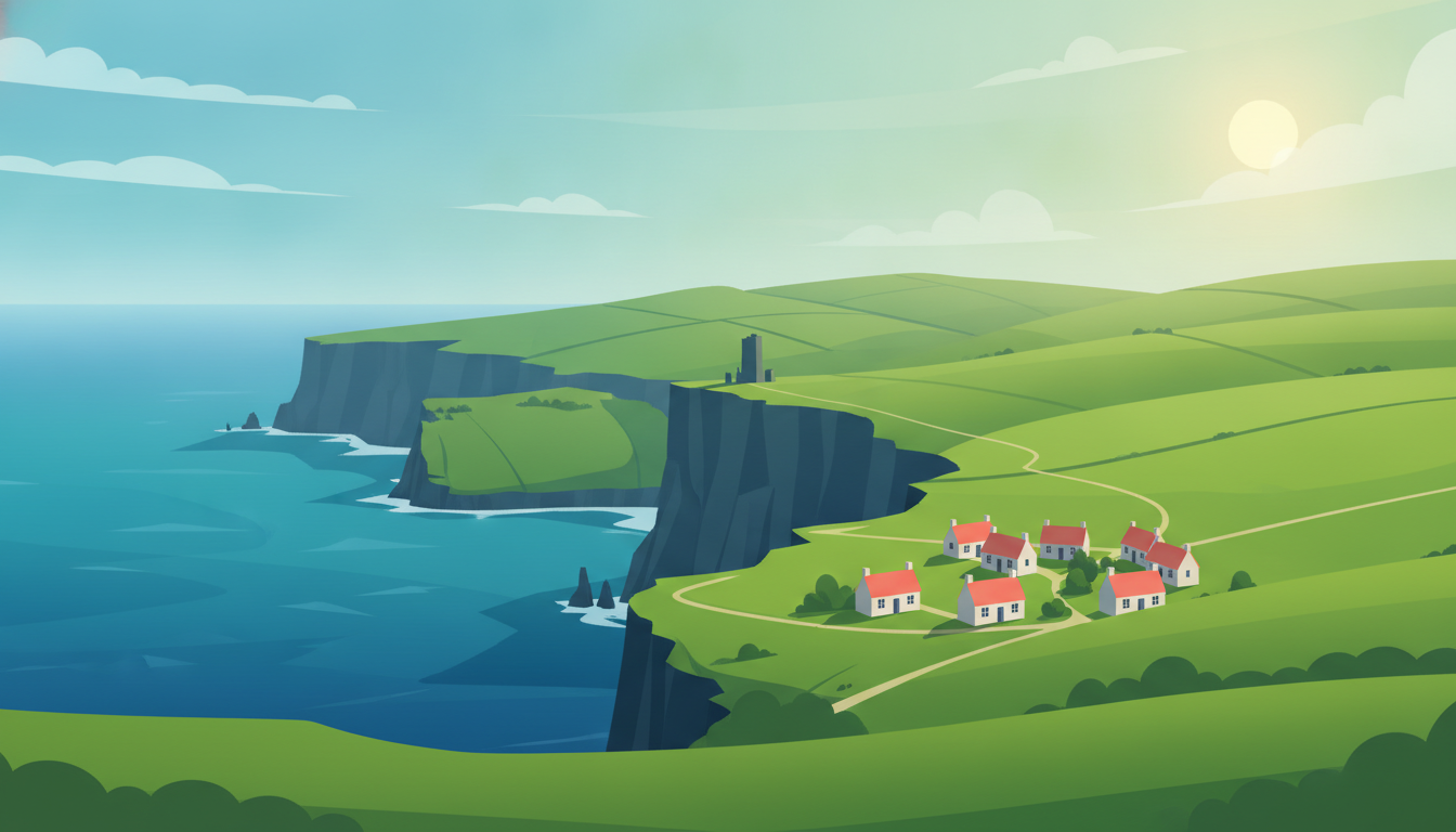
The North Coast 500 is a 516-mile loop from Inverness around the top of Scotland, and it became famous fast: the route was only branded in 2015. What it is, underneath the marketing, is a string of genuinely remarkable coast roads connected by moor and glen: the Bealach na Bà over to Applecross, the Torridon mountains, the emptiness between Ullapool and Durness, and the long north coast where the sea is Caribbean-coloured and about eight degrees.
Seven days is the honest length. It can be driven in three, and people do, and they spend those three days driving. The roads are single-track for long stretches with passing places rather than lanes, which means the average speed is far below what the map suggests and the whole thing rewards stopping.
One thing this plan is explicit about: the loop itself takes about five driving days, and the last two here go south into the Cairngorms from Inverness. That is a common way to use a full week and it is not part of the NC500, if you would rather spend the time on the coast, the days on the west side are the ones to slow down.
You leave the city for river islands, lunch by a loch under the Torridon giants, then climb a mountain pass to sleep at the edge of the map.
Start here before the road takes over — this is the last city view for a week.
The Inverness Castle Experience · Inverness
A quick rise above the River Ness giving you your first look at the Highlands you're about to drive into.
💡 Free viewing terrace, best in morning light.
Castle St, Castle Hill, Inverness
A short walk from the castle along the riverside path.
Ness Islands · Inverness
Easy wooded river islands with footbridges — a gentle leg-stretch before the long drive begins.
Great Glen Wy., Inverness
The road from Inverness climbs west into Glen Torridon, and the mountains simply appear.
Loch Torridon Viewpoint · Strathcarron
Sandstone giants — Liathach and Beinn Eighe — rise straight off the glen floor; one of Scotland's great mountain drives.
💡 Pull-offs along the glen road give the best photo angles.
A896, Strathcarron
Just along the glen road from the viewpoint, at the loch.
The Torridon Stores & Cafe · Achnasheen
A simple lunch stop by the loch shore before tackling the pass, with Liathach still filling the windscreen.
💡 Casual counter-service spot — good soup and rolls, no booking needed.
Torridon, Achnasheen
From Torridon the road turns to Applecross via the Bealach — the pass is the approach, not a detour.
Bealach na Bà · Strathcarron
Britain's steepest road climb, a hairpin pass to almost 630m with a view over to Skye — the drive itself is the destination.
💡 Single-track with passing places — go slow, not for caravans, check weather first.
Strathcarron
Overnight in Applecross
- View
Eagle Rock Applecross Luxury Eco Lodge Sleeps 14
Eagle Rock, Milton · $$ · ★ 5.0
- View
Applecross B&B and Luxury Cabins
Upper, Toscaig, Applecross, Strathcarron · $$ · ★ 4.9
- View
Applecross Inn
Shore St, Applecross, Strathcarron · $$ · ★ 4.6
- View
Browse places to stay
Applecross · $$
Booking happens on the partner's site.
- Fuel up in Inverness or Torridon — Applecross has very limited fuel options.
- The Applecross Inn is the only proper dinner spot in the village — arrive without a reservation and hope, or self-cater.
- The Bealach na Bà closes in snow/ice — check conditions before committing.
- Shieldaig+15 km
Pretty pine-fringed loch village just south of Applecross, good short walk to the shore.
- Beinn Eighe National Nature Reserve trail+5 km
Waymarked mountain trail with a genuinely spectacular loch and peak panorama.
Sea lochs and a quiet beach give way to a suspension bridge over a roaring gorge before you reach the harbour town.
Gairloch Beach (Gaineamh Mhòr) · Gairloch
A wide, quiet sand beach with views to the Torridon hills — a good stretch-the-legs stop.
A832, Gairloch
A short detour inland from the coast road before dropping into Ullapool.
Falls Of Measach · Garve
A dramatic 60m waterfall dropping into a mile-long gorge, crossed by a suspension footbridge — 20km detour off the Ullapool road.
💡 Short walk from car park to the bridge; can be windy and slippery.
A835, Garve
Overnight in Ullapool
- View
Westlea House
Westlea Guest House, 2 Market St, Ullapool · $$ · ★ 5.0
- View
Croft Cottage
Ross-shire Croft Cottage, Steves Digs, Ardmair, Ullapool · $$ · ★ 5.0
- View
Clachan Farmhouse Bed & Breakfast - Ullapool
Clachan Farmhouse, Clachan Lochbroom, Ullapool · $$ · ★ 5.0
- View
Browse places to stay
Ullapool · $$
Booking happens on the partner's site.
- Ullapool is small — park in the main harbourfront car park, walk everywhere.
- Fuel and restock in Ullapool; options thin out heading further north.
- Corrieshalloch Gorge car park can fill in peak season — arrive earlier in the day.
- Inverewe Garden+10 km
Subtropical gardens on the same latitude as Siberia, warmed by the Gulf Stream — an odd, lovely detour.
- Rock Stop, Unapool+25 km
Small geology visitor centre explaining the ancient Moine Thrust landscape you're driving through.
Jagged peaks and a bridge over a sea loch lead you to a cave you can actually walk into at the edge of Scotland.
North from Ullapool, this odd little mountain dominates the skyline.
Stac Pollaidh · Ullapool
A jagged, distinctive peak visible from the road — the view alone from below is worth the stop.
💡 Full ascent is steep scrambling — the base viewpoint is the easy, worthwhile option.
Ullapool
Kylesku Bridge · Lairg
A striking modern bridge over Loch a' Chàirn Bhàin with waterfall boat trips departing nearby.
Kylesku Bridge, Lairg
Just before Durness village, the road passes right by the cave entrance.
Smoo Cave · Lairg
A huge sea cave you can walk into, with a waterfall inside during wet weather — one of the north coast's odd wonders.
💡 Free to enter the outer chamber; boat trips inside cost extra and depend on water level.
Lairg
Overnight in Durness
- View
Mackay's Rooms
A383, Durness, Lairg · $$ · ★ 4.8
- View
Smoo Lodge B&B
A838, Durness, Lairg · $$ · ★ 4.8
- View
Wild Orchid Guest House
Durine, Durness, Lairg · $$ · ★ 4.7
- View
Browse places to stay
Durness · $$
Booking happens on the partner's site.
- The road north of Ullapool is mostly single-track — allow extra time, use passing places.
- Durness has limited fuel — top up in Lochinver or Kylesku if possible.
- Smoo Cave boat trips depend on tide/rain — check with operator on arrival.
- Achmelvich Beach+8 km
A hidden turquoise-water beach near Lochinver that looks Caribbean, not Scottish.
- Sandwood Bay+30 km
Remote, dramatic dune beach reached only by a 4-mile walk — for those with extra time and energy.
Empty beaches and a mountain-mirrored loch lead you to sea stacks at the very tip of mainland Britain.
East along the coast road, the Kyle opens up with the mountain behind it.
Ben Loyal Hotel and Glamping Pods · Lairg
A striking granite mountain reflected in the Kyle of Tongue — one of the north coast's finest views.
Main Street Tongue By, Lairg
Torrisdale Bay
Wild dune-backed beach where the River Naver meets the sea, usually near-empty.
Torrisdale Bay
A few minutes further along the coast from John o' Groats itself.
Duncansby Head Lighthouse · Wick
Dramatic sea cliffs and the Duncansby Stacks just past John o' Groats — the true northeastern tip of mainland Britain.
💡 Easy 20-min walk from the car park to the stacks viewpoint.
Wick
Overnight in John o' Groats
- View
Burnside Cottage B&B + The Pig Shed
Ha of Gills, Canisbay, Upper Gills, Wick · $$ · ★ 5.0
- View
Alba Sunrise B & B
Alba House, Nybster, Wick · $$ · ★ 5.0
- View
John o' Groats Guest House
A99, John o' Groats, Wick · $$ · ★ 4.9
- View
Browse places to stay
John o' Groats · $$
Booking happens on the partner's site.
- Fuel up in Tongue or Bettyhill — options are sparse on this stretch.
- John o' Groats itself is small; the real draw is Duncansby Head just beyond it.
- Coastal weather changes fast here — pack layers even in summer.
- Strathnaver Museum, Bettyhill+1 km
Small museum on the Highland Clearances, if you want context for the empty glens you've been driving through.
- Dunnet Head+20 km
The actual most-northerly point of mainland Britain (John o' Groats is a myth) with a lighthouse and Orkney views.
A cliffside staircase to a hidden harbour and a fairy-tale castle carry you back down toward Inverness.
South from Wick, a short detour finds the steps hidden right off the road.
Whaligoe Steps · Lybster
A dizzying 365-step stone staircase cut into a cliff down to a hidden fishing harbour — one of the coast's best-kept secrets.
💡 Steps are steep and uneven — sturdy shoes, and it's a real climb back up.
Whaligoe, Lybster
The castle sits right on the coast road just past Golspie.
Dunrobin Castle · Golspie
A fairy-tale castle with formal gardens and falconry displays overlooking the Moray Firth — the grandest house on the whole route.
💡 Book garden/falconry show times online in peak season.
Golspie
Overnight in Inverness
- View
Black Isle Bar & Rooms
68 Church St, Inverness · $$ · ★ 4.7
- View
Ness Walk Hotel - 5 Star Luxury Inverness Hotel
12 Ness Walk, Inverness · $$ · ★ 4.6
- View
Kingsmills Hotel - Top Inverness Hotel with Swimming Pool
Culcabock Rd, Inverness · $$ · ★ 4.5
- View
Browse places to stay
Inverness · $$
Booking happens on the partner's site.
- Whaligoe Steps parking is on the main road with a small unmarked sign — go slow.
- Dunrobin Castle gets busy midday in summer — aim for morning or late afternoon.
- This is a full return-driving day — start early to enjoy both stops unhurried.
- Old Pulteney Distillery, Wick+2 km
A working whisky distillery with tours in a proper fishing-town setting.
- Dornoch+10 km
A handsome cathedral town with a famous golf links and a good beach.
A gentle forest loch walk in the morning is just the warm-up before you spend the afternoon climbing a real mountain.
A short drive south into Rothiemurchus Forest from Aviemore.
Loch an Eilein
A serene forest loch with a ruined castle on a tiny island — one of the Cairngorms' loveliest easy walks.
💡 Flat 5km circuit, well-signposted, roughly 90 minutes at an easy pace.
Aviemore
From the loch, drive up to the Cairn Gorm car park to start the ascent.
Cairn Gorm
A serious mountain day out onto Britain's sixth-highest peak, with sweeping Cairngorms plateau views.
💡 Fitness and good weather required — start early, check forecast, full waterproofs and 6+ hours needed.
Aviemore
Overnight in Aviemore
- View
Ravenscraig Guest House
141 Grampian Rd, Aviemore · $$ · ★ 4.9
- View
Ardlogie Guest House & Self-Catering
shire, Dalfaber Road Aviemore Inverness, Aviemore · $$ · ★ 4.9
- View
Cairngorm Guest House
139 Grampian Rd, Aviemore · $$ · ★ 4.8
- View
Browse places to stay
Aviemore · $$
Booking happens on the partner's site.
- Cairn Gorm weather turns fast — check Mountain Weather Information Service before setting out.
- Park at Cairn Gorm car park (small fee) — fills early on clear days.
- Aviemore has plenty of parking at hotels; no restricted zones to worry about.
- Rothiemurchus Estate+3 km
Working estate with more waymarked forest trails and red squirrel spotting if legs are tired the next morning.
- Strathspey Steam Railway+0 km
A vintage steam train running between Aviemore and Broomhill, a fun low-effort add-on.
An old packhorse bridge and an ancient burial site bookend the battlefield that closes the loop back into Inverness.
A short hop north from Aviemore on the old road.
Old Pack Horse Bridge · Carrbridge
A dramatic ruined 18th-century stone bridge over a rocky gorge, a quick and photogenic stop.
Dulnain Bridge, Carrbridge
On the final approach into Inverness, the battlefield sits just off the road.
Culloden Battlefield (National Trust for Scotland)
The 1746 battlefield that ended the Jacobite rising, with a visitor centre giving real weight to the empty moor.
💡 Book timed entry online in summer; the moor walk itself is free and always open.
Culloden Moor, Inverness
A couple of minutes' drive from the battlefield car park.
Clava Cairns
Bronze Age burial cairns in a quiet grove near Culloden — an atmospheric, easy final stop before the city.
Inverness
Overnight in Inverness
- View
Black Isle Bar & Rooms
68 Church St, Inverness · $$ · ★ 4.7
- View
Ness Walk Hotel - 5 Star Luxury Inverness Hotel
12 Ness Walk, Inverness · $$ · ★ 4.6
- View
Kingsmills Hotel - Top Inverness Hotel with Swimming Pool
Culcabock Rd, Inverness · $$ · ★ 4.5
- View
Browse places to stay
Inverness · $$
Booking happens on the partner's site.
- Culloden gets busy midday — book timed entry and go early or late.
- Inverness city centre has pay-and-display and hotel parking — check your hotel offers it.
- This is a short final day by design — leave time to wander Inverness itself before flying out.
- Fort George+15 km
A vast, still-active 18th-century artillery fortress on a headland, one of Europe's best-preserved.
- Cawdor Castle+10 km
A romantic, still-lived-in castle with lovely gardens, linked (loosely) to Shakespeare's Macbeth.
Make this trip your own
Plan your own road trip →This route was drafted with AI. Please double-check roads, opening hours and local conditions before you go.
Made with Roadanza
What will the fuel cost?
This route covers 921 km. Put your own car's consumption and local fuel price in and you'll have the number in a few seconds.
Work it out for this route →Questions, answered
- Which direction should I drive the NC500?
- Anticlockwise: west coast first, is the usual advice and the better drive: you take the Bealach na Bà early while you are fresh, the best scenery comes before you tire of it, and you end on the gentler east coast. Clockwise puts the hardest driving at the end of the week.
- How many days do you need for the NC500?
- The loop is about five driving days at a pace that lets you stop; a week gives you either two slower days on the west coast or an add-on inland, which is how the plan below uses them. Anything under four days is a driving marathon that misses the point: the road averages far slower than its distance suggests.
- When is the best time to drive the NC500?
- May, June and September. May and June have the long days and the fewest midges; September has the colour and the quiet. July and August bring both the midges and the traffic, and the single-track sections are genuinely congested. Winter has five hours of daylight and real weather.
- How do passing places work on single-track roads?
- Pull into a passing place on your left, or stop opposite one on your right, and let the oncoming car through. Never park in one. Let faster traffic overtake: locals are working, not sightseeing, and a raised hand is the expected thank-you.
- Can you camp along the NC500?
- Wild camping is legal in Scotland under the Outdoor Access Code, but it means a tent away from the road, not a campervan in a lay-by, and the difference has become a genuine local grievance. Book campsites in advance in summer; motorhome facilities on the route are limited and fill early.
- Do I need to book accommodation on the NC500?
- Yes, and early for June to August: the villages are small, the room count is tiny, and Applecross, Durness and Lochinver sell out months ahead. This is the single most common way the trip goes wrong.
Worth reading first
Other routes you might like
Ireland Road Trip: A 7-Day Loop from Dublin
Cliffs, castles and green roads in one circuit.
7 days · 1,113 km
Scotland Road Trip: 7 Days of Highlands from Edinburgh
Lochs, glens and castle ruins beyond the city.
7 days · 936 km
Portugal Road Trip: Lisbon to Porto in 7 Days
The Atlantic coast, one unhurried stretch at a time.
7 days · 496 km