Pacific Coast Highway Road Trip: SF to LA in 5 Days
America's most famous coastal drive.
Five days down Highway 1 — Big Sur cliffs, sea otters in Monterey, Hearst Castle and golden Malibu beaches, with pull-outs you'll never want to leave.
The stretch of Highway 1 between San Francisco and Los Angeles is the most photographed road in America, and the part that earns it is short: the ninety miles through Big Sur, where the road is cut into the cliff and there is nowhere to be but present. Everything either side is pleasant; that section is the reason to come.
Southbound puts you on the ocean side, which matters more here than almost anywhere: the pull-outs above Bixby Creek and Julia Pfeiffer are on the right, and stopping is half the drive. Check the road status before you go: Big Sur closes for landslides more often than people expect, sometimes for months.
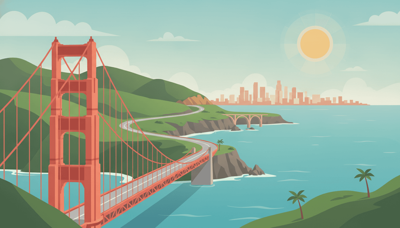
Your days
You trade city streets for cliffside coast, ending the day at a sea arch in Santa Cruz.
South of Pacifica the cliffs relax into the wide beaches of Half Moon Bay.
A short detour off Highway 1 near Pescadero brings you to this iconic lighthouse.
Rolling into Santa Cruz, the coast road ends at this postcard beach.
Overnight in Santa Cruz, CA
- View
Sea & Sand Inn
hotel · 1.4 km from the centre★ 4.6 · 201 W Cliff Dr, Santa Cruz - View
Dream Inn
hotel · 1.3 km from the centre★ 4.5 · 175 W Cliff Dr, Santa Cruz - View
Best Western Plus Capitola By-the-Sea Inn & Suites
hotel · 5.5 km from the centre★ 4.5 · 1435 41st Ave, Capitola - View
Browse places to stay
Santa Cruz, CA
Booking happens on the partner's site.
- Highway 1 is slow and scenic — budget extra time versus GPS estimates
- Pigeon Point Lighthouse parking lot is small; arrive early on weekends
- Santa Cruz beach lots fill fast in summer — go early or park a few blocks inland
- Año Nuevo State Park+6 mi
Elephant seal colony viewing (seasonal) on a wild stretch of coast.
- Big Basin Redwoods State Park+16 mi
Ancient redwood groves inland from the coast highway.
Otters and kelp forests fill your morning; by evening you're eating chowder on a historic wharf.
Arriving in Monterey, the aquarium sits right on the waterfront.
A short stroll from the aquarium along the same shoreline.
Overnight in Monterey, CA
- View
Pebble Beach Golf Links
resort · 5.9 km from the centre★ 4.8 · 1700 17 Mile Dr, Pebble Beach - View
Spyglass Hill Golf Course
resort · 5.9 km from the centre★ 4.8 · 3206 Stevenson Dr, Pebble Beach - View
The Lodge at Pebble Beach
resort · 6.0 km from the centre★ 4.8 · 1700 17 Mile Dr, Pebble Beach - View
Browse places to stay
Monterey, CA
Booking happens on the partner's site.
- Monterey has paid downtown parking garages — cheaper than street meters near the wharf
- Aquarium tickets are timed-entry — buy online before you arrive
- Cannery Row can be walked directly from the aquarium, no need to re-park
- Point Lobos State Natural Reserve+5 mi
Some of the most dramatic rocky coastline in California, easy walking trails.
- 17-Mile Drive+3 mi
Scenic private toll road through Pebble Beach with iconic cypress trees and coastal views.
Big Sur's cliffs and a waterfall-onto-a-beach give way to a seal colony by day's end.
Continuing south through Big Sur, this park holds one of the coast's most famous views.
Emerging from Big Sur's cliffs, the coast flattens near San Simeon for this seal colony.
Overnight in Cambria, CA
- View
Cambria Beach Lodge
hotel · 2.8 km from the centre★ 4.6 · 6180 Moonstone Beach Dr, Cambria - View
Sand Pebbles Inn
hotel · 2.9 km from the centre★ 4.6 · 6252 Moonstone Beach Dr, Cambria - View
Cambria Pines Lodge
hotel · 0.6 km from the centre★ 4.5 · 2905 Burton Dr, Cambria - View
Browse places to stay
Cambria, CA
Booking happens on the partner's site.
- Highway 1 through Big Sur can have closures — check Caltrans road conditions before departing
- Bixby Bridge pullouts are tiny — patience needed for parking on busy days
- Fill up on gas in Monterey; stations are sparse and pricier through Big Sur
- Pfeiffer Beach+2 mi
Purple-sand beach with a striking rock arch, tucked down an unmarked road.
- Hearst Castle+5 mi
Opulent hilltop estate with guided tours, a striking contrast to the wild coast below.
A volcanic rock and a butterfly grove lead inland to a Danish village before the sea reappears at Santa Barbara.
A quick stop off Highway 1 in Pismo Beach, if the season is right.
Descending from the wine country hills, the drive ends at Santa Barbara's waterfront.
Overnight in Santa Barbara, CA
- View
Rosewood Miramar Beach
hotel · 6.9 km from the centre★ 4.7 · 1759 S Jameson Ln, Montecito - View
El Encanto, Santa Barbara
hotel · 1.7 km from the centre★ 4.6 · 800 Alvarado Pl, Santa Barbara - View
San Ysidro Ranch
hotel · 7.8 km from the centre★ 4.6 · 900 San Ysidro Ln, Montecito - View
Browse places to stay
Santa Barbara, CA
Booking happens on the partner's site.
- Solvang is a worthwhile inland detour but adds about 45 minutes each way to the coast route
- Santa Barbara's downtown has metered and garage parking — garages are easier for longer stays
- Butterfly grove only active roughly Oct–Feb; skip if outside season
- Channel Islands National Park (Ventura visitor center)+19 mi
Gateway views and exhibits for the offshore islands, even without a boat trip.
- Lake Cachuma+12 mi
Quiet reservoir with oak-studded hills, a peaceful contrast to the coast.
Sea stacks and a bluff-top view close out the coast before the highway delivers you into Los Angeles.
A few minutes further along, the headland at Point Dume offers the trip's last big coastal view.
- Pacific Coast Highway into LA can have heavy traffic — avoid rush hour if possible
- El Matador and Point Dume lots are small state-park lots — arrive early or expect a wait
- No overnight stop today — plan arrival time in LA around traffic patterns
- Getty Villa+3 mi
Museum and gardens overlooking the Pacific, a cultured pause near the end of the drive.
- Topanga State Park+9 mi
Canyon and coastal views just inland from Malibu.
This route was drafted with AI. Please double-check roads, opening hours and local conditions before you go.
Questions, answered
- Is Highway 1 through Big Sur open?
- Usually, but not always: landslides close sections for weeks or months at a time, and the detour is long. Caltrans publishes current closures; check them the week you travel rather than assuming, because a closed Big Sur changes the entire route.
- How long does the Pacific Coast Highway take?
- Three days is the minimum that doesn't feel like a transfer; five lets you walk in Big Sur, stop in Cambria and Santa Barbara, and still arrive unhurried. The distance is only about 750 km, but the road averages far slower than a motorway.
- Should I drive north or south on the PCH?
- South, from San Francisco toward Los Angeles. You get the ocean-side lane and every viewpoint is a right turn: on a cliff road with no central reservation, that is a real difference.
Worth reading first
Other routes you might like
New England Road Trip: 5 Fall Days to Acadia
Lighthouses, lobster rolls and leaf-peeping.
5 days · 620 mi
Blue Ridge Parkway Road Trip: DC to Asheville
America's favorite slow road.
5 days · 531 mi
Arizona Road Trip: Grand Canyon and Sedona
Red rocks, star skies and the big rim.
4 days · 469 mi