Portland & midcoast Maine Weekend Trip from Boston
The best small-city food in New England, then lighthouses up the coast
2 days, 241 mi, about 5h 21m of driving: planned day by day with stops and somewhere to stay.
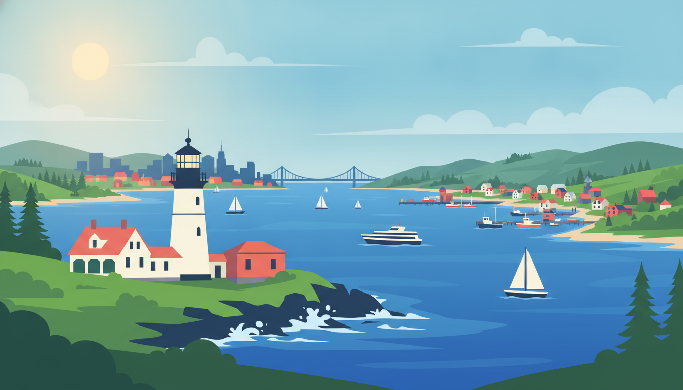
2 days, 241 mi, roughly 5h 21m of driving spread across them — Boston to Boston.
Each day below is paced around a realistic amount of time in the car, with stops, timings and somewhere to sleep already worked out. Swap anything you don't like, or rebuild a whole day.
You trace the coast north through colonial Portsmouth and yachty Kennebunkport, ending the day at a lighthouse on the rocks above Portland.
Historic Waterfront Downtown Portsmouth Condo · Portsmouth
A well-preserved colonial river town with tugboats and tall ships along the Piscataqua — an easy stroll to stretch your legs.
💡 Free public lot near Prescott Park is easiest for a short stop.
Portsmouth
Dock Square · Kennebunkport
Classic Maine harbor village with boutiques, boats, and the nearby Walker's Point Bush estate view — a favorite easy coastal stop.
💡 Park once near Dock Square and walk the whole village on foot.
Dock Square, Kennebunkport
Just steps from Dock Square, across the bridge.
The Clam Shack · Kennebunk
A legendary lobster roll shack right on the bridge over the Kennebunk River — the one meal worth planning around today.
💡 No indoor seating — order at the window and eat by the river rail.
2 Western Ave, Kennebunk
A short detour into Cape Elizabeth before settling into Portland proper.
Portland Head Light · Cape Elizabeth
Maine's oldest lighthouse, dramatically set on rocky cliffs at the mouth of Casco Bay — the trip's signature image.
💡 Go near sunset for the best light on the tower and rocks.
Cape Elizabeth
Old Port
Cobblestone streets, brick warehouses, and harbor views make this Portland's most walkable historic quarter.
💡 Evening is liveliest — many shops and galleries stay open late in summer.
Old Port, Portland
- Book a Portland hotel with parking — Old Port streets are narrow and metered.
- The Clam Shack has long lines at midday — arrive before noon or after 2pm.
- Portland Head Light grounds close at dusk — check the posted hours before you go.
- Ogunquit Beach+9 mi
A long, soft sand beach and the scenic Marginal Way cliff walk, just south of Kennebunkport.
- Fort Williams Park+0 mi
The park surrounding Portland Head Light — open lawns and shoreline paths for an easy walk.
- Cape Porpoise+5 mi
A quieter working lobster harbor a few minutes from Dock Square, far less crowded.
You walk a cliffside path above the Atlantic in Ogunquit, then trade lighthouses for Salem's old wharves on the way back to Boston.
Start the day close to the hotel with a look back over the bay before heading south.
Eastern Promenade Trail · Portland
A waterfront park with sweeping views of Casco Bay's islands — a calm morning walk before the drive home.
💡 Best light and least crowded early in the morning.
Portland
Marginal Street · Chelsea
A famous half-mile paved cliff walk above the Atlantic, linking Ogunquit's beach to Perkins Cove.
💡 Flat and paved — an easy stroll, no hiking gear needed.
Chelsea
Salem Maritime National Historical Park · Salem
Preserved wharves and a tall ship replica tell Salem's seafaring history — an easy, atmospheric stop before the final push to Boston.
💡 Free to walk the wharves; the visitor center has a small museum if you want more.
160 Derby St, Salem
- Marginal Way parking fills early in summer — arrive before 10am or park in Perkins Cove.
- Salem's downtown has paid lots near the waterfront; street parking is limited.
- Keep both driving legs today under 2 hours each — no need to rush the coast.
- Perkins Cove+0 mi
A tiny working harbor at the end of Marginal Way with galleries and a pedestrian drawbridge.
- Salem Willows Park+3 mi
An old-fashioned seaside park with an arcade and water views, a short detour from downtown Salem.
- Kittery Outlets+6 mi
Only relevant if shopping interests you — otherwise skip, it's the one commercial stop on the route.
Make this trip your own
Plan your own road trip →This route was drafted with AI. Please double-check roads, opening hours and local conditions before you go.
Made with Roadanza
What will the fuel cost?
This route covers 241 mi. Put your own car's consumption and local fuel price in and you'll have the number in a few seconds.
Work it out for this route →Questions, answered
- How long does this route take?
- 2 days as planned here, covering 241 mi — an average of 121 mi a day and about 5h 21m of driving in total. You can stretch it by adding days, which spreads the same distance more thinly rather than adding new ground.
- Can I drive it in fewer days?
- You can, but the driving days get longer rather than the trip getting shorter: the distance doesn't change. Cutting one day from a 2-day plan adds roughly 121 mi to whichever days absorb it. If you're short on time, it's usually better to cut the far end of the route than to compress every day.
- Is this a loop?
- Yes, this one returns to where it starts, so a hire car goes back to the same desk and you don't pay a one-way fee.
- Can I change this itinerary?
- Yes. Open it in the planner and every stop can be swapped for one of three alternatives, any day can be rebuilt, and you can add or remove days. The drive times and the budget recalculate around whatever you change.
Other routes you might like
Newport & the Rhode Island coast Weekend Trip from New York
Gilded-Age mansions, a cliff walk and the best sailing town on the coast
2 days · 370 mi

The Berkshires Weekend Trip from New York
Hill-country museums, Tanglewood and a landscape built for autumn
2 days · 346 mi
Lake George & the Adirondacks Weekend Trip from New York
A long lake under real mountains, three and a half hours north
2 days · 428 mi