Yellowstone & Grand Tetons loop
Geysers, grizzlies and granite peaks.
Six days north through the Tetons' jagged skyline into Yellowstone's geyser basins and wildlife valleys — America's first national park, done properly.
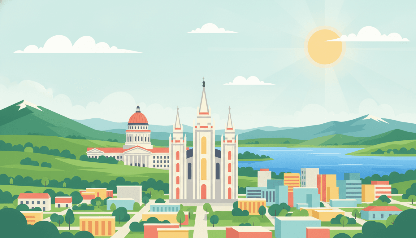
6 days, 958 mi, roughly 18h 16m of driving spread across them — Salt Lake City to Salt Lake City.
Each day below is paced around a realistic amount of time in the car, with stops, timings and somewhere to sleep already worked out. Swap anything you don't like, or rebuild a whole day.
Your days
A highway day: you trade Salt Lake's grid for a basalt gorge at midday and the glow of Idaho Falls by night.
About halfway to Idaho Falls, a short detour off the interstate reaches the gorge rim.
After the museum, walk down to the river where the falls give the town its name.
Overnight in Idaho Falls
- View
Best Western Driftwood Inn
hotel · 0.5 km from the centre★ 4.6 · 575 River Pkwy, Idaho Falls - View
Residence Inn by Marriott Idaho Falls
hotel · 0.4 km from the centre★ 4.6 · 635 W Broadway St, Idaho Falls - View
Home2 Suites by Hilton Idaho Falls
hotel · 1.8 km from the centre★ 4.6 · 1160 Whitewater Dr, Idaho Falls - View
Browse places to stay
Idaho Falls
Booking happens on the partner's site.
- Fill up on gas in Idaho Falls — fewer stations once you head toward the park tomorrow
- No ZBE zones here — park free at the hotel and walk the Riverwalk
- Book Idaho Falls lodging ahead in summer; it's a gateway stop for park traffic
- Craters of the Moon National Monument+56 mi
Otherworldly lava fields and cinder cones, a dramatic detour if you have an extra hour.
- Fort Hall Bottoms+9 mi
Wetlands and wildlife viewing along the Snake River, a quiet nature stop.
Waterfall detour day: you trade the interstate for a scenic byway, ending at the park's front door.
Instead of the straight highway, swing onto the byway for waterfalls tucked in the forest.
Overnight in West Yellowstone
- View
Explorer Cabins at Yellowstone
hotel · 0.5 km from the centre★ 4.6 · 250 S Canyon St, West Yellowstone - View
Kelly Inn West Yellowstone
hotel · 0.4 km from the centre★ 4.5 · 104 S Canyon St, West Yellowstone - View
CROSSWINDS INN West Yellowstone MT
hotel · 0.3 km from the centre★ 4.5 · 201 Firehole Ave, West Yellowstone - View
Browse places to stay
West Yellowstone
Booking happens on the partner's site.
- West Yellowstone fills fast in summer — book lodging weeks ahead
- Fuel up here; prices rise once you're inside the park
- Grab a park map at the West Entrance visitor center before day 3's early start
- Big Springs+16 mi
A crystal-clear spring-fed river, easy walk, popular with canoeists and birders.
- Island Park Caldera viewpoint+6 mi
One of the largest calderas on Earth, an easy roadside stop with interpretive signs.
Geyser to canyon day: you watch Old Faithful erupt at dawn and stand over the Yellowstone's yellow gorge by afternoon.
A short drive north along the Firehole River brings you to the park's most photographed spring.
Overnight in West Yellowstone
- View
Explorer Cabins at Yellowstone
hotel · 0.5 km from the centre★ 4.6 · 250 S Canyon St, West Yellowstone - View
Kelly Inn West Yellowstone
hotel · 0.4 km from the centre★ 4.5 · 104 S Canyon St, West Yellowstone - View
CROSSWINDS INN West Yellowstone MT
hotel · 0.3 km from the centre★ 4.5 · 201 Firehole Ave, West Yellowstone - View
Browse places to stay
West Yellowstone
Booking happens on the partner's site.
- Enter the park before 7am — parking at Old Faithful and Grand Prismatic overflows by mid-morning
- Cell service is nonexistent inside the park — download offline maps beforehand
- Gas is pricier inside the park; top off in West Yellowstone before entering
- Midway Geyser Basin boardwalk+0 mi
Right next to Grand Prismatic, an easy boardwalk loop past bubbling pools and steam vents.
- Fountain Paint Pot+3 mi
A compact, easy boardwalk showing all four types of Yellowstone thermal features.
Lake day: you leave Yellowstone's big lake behind and arrive under the jagged spine of the Tetons by evening.
Continue south along the Teton Park Road to the next glacial lake.
Overnight in Jackson
- View
Wyoming Inn of Jackson Hole
hotel · 1.8 km from the centre★ 4.7 · 930 W Broadway, Jackson - View
SpringHill Suites by Marriott Jackson Hole
hotel · 0.3 km from the centre★ 4.6 · 150 W Simpson Ave, Jackson - View
Cowboy Village Resort
hotel · 0.6 km from the centre★ 4.5 · 120 Flat Creek Dr, Jackson - View
Browse places to stay
Jackson
Booking happens on the partner's site.
- Jackson lodging is pricey in summer — book ahead or consider Teton Village alternatives
- Grand Teton entrance fee is separate from Yellowstone unless you have the interagency pass
- Jackson's town square area has limited parking — arrive early for a spot near the shops
- Mormon Row Historic District+9 mi
Iconic weathered barns with the Tetons behind them, a favorite photo stop.
- Schwabacher Landing+6 mi
A quieter beaver-pond reflection spot for the Teton range, less crowded than Oxbow Bend.
Descent day: you cross Teton Pass in the morning and end among Pocatello's quiet parklands by dusk.
Continue south through Idaho farmland toward Rexburg, where the wildlife park sits just off the highway.
Arriving in Pocatello, the park offers a quiet stretch of legs before dinner.
Overnight in Pocatello
- View
Purpose Center
guesthouse · 0.7 km from the centre★ 4.9 · 224 N Union Pacific Ave, Pocatello - View
Black Swan Inn
guesthouse · 0.2 km from the centre★ 4.8 · 746 E Center St, Pocatello - View
Holiday Inn Express & Suites Pocatello by IHG
hotel · 2.3 km from the centre★ 4.6 · 200 Via Venitio, Pocatello - View
Browse places to stay
Pocatello
Booking happens on the partner's site.
- Teton Pass has steep grades — check brakes before the descent, especially with a full tank
- Pocatello has no ZBE restrictions — standard hotel parking is fine
- This splits the return drive so day 6 into Salt Lake City stays under the pace cap
- Hell's Half Acre Lava Field+12 mi
An easy boardwalk loop through a stark lava flow, a quick geological curiosity off I-15.
- Massacre Rocks State Park+19 mi
Basalt rock formations and Oregon Trail history along the Snake River.
Last-leg day: a turquoise lake overlook and a limestone canyon carry you home instead of a flat highway grind.
A detour east off the interstate climbs to the ridge overlooking Bear Lake's blue water.
Descending from Bear Lake, the byway winds down through the canyon toward Cache Valley.
- Bear Lake detour adds distance but stays well under the day's pace cap
- No stops planned inside Salt Lake City itself — the day ends with the drive in
- Logan Canyon road can have wildlife crossings at dusk — drive attentively
- Wind Caves Trail+5 mi
A short, easy hike near Logan Canyon to natural rock arches, if you have an extra hour.
- Minnetonka Cave+12 mi
A guided cave tour near Bear Lake with striking formations, a fun detour for cave enthusiasts.
This route was drafted with AI. Please double-check roads, opening hours and local conditions before you go.
Questions, answered
- How long does this route take?
- 6 days as planned here, covering 958 mi — an average of 160 mi a day and about 18h 16m of driving in total. You can stretch it by adding days, which spreads the same distance more thinly rather than adding new ground.
- Can I drive it in fewer days?
- You can, but the driving days get longer rather than the trip getting shorter: the distance doesn't change. Cutting one day from a 6-day plan adds roughly 160 mi to whichever days absorb it. If you're short on time, it's usually better to cut the far end of the route than to compress every day.
- Is this a loop?
- Yes, this one returns to where it starts, so a hire car goes back to the same desk and you don't pay a one-way fee.
- Can I change this itinerary?
- Yes. Open it in the planner and every stop can be swapped for one of three alternatives, any day can be rebuilt, and you can add or remove days. The drive times and the budget recalculate around whatever you change.
Worth reading first
Other routes you might like
Oregon Coast Road Trip: 7 Days on Highway 101
Sea stacks, lighthouses and dune towns down Highway 101.
7 days · 505 mi
Pacific Coast Highway Road Trip: SF to LA in 5 Days
America's most famous coastal drive.
5 days · 467 mi
Utah National Parks Road Trip: Mighty 5 in 7 Days
Five national parks, one unforgettable week.
7 days · 1,017 mi