Oregon Coast Road Trip: 7 Days on Highway 101
Sea stacks, lighthouses and dune towns down Highway 101.
A 7-day Oregon coast road trip from Astoria to Brookings — sea stacks, lighthouses and dune towns, paced day by day with drives and stops planned.
Highway 101 down the Oregon coast is one of the few drives where the road itself is the attraction for its entire length. There is no dull stretch between Astoria and Brookings: headlands, sea stacks, dune fields and fishing towns follow each other closely enough that the temptation is to stop every twenty minutes, which is exactly why the days below are paced short.
Drive it north to south if you can. The ocean is then on your right, which means every viewpoint and pull-out is a right turn across no traffic: a small thing that changes the whole day. Fog is normal until midday in summer; the clear light usually arrives in the afternoon and stays until late.
Your days
You climb a river-mouth column at dawn and end the day facing down a sea stack at sunset.
Start the trip here before heading south on 101.
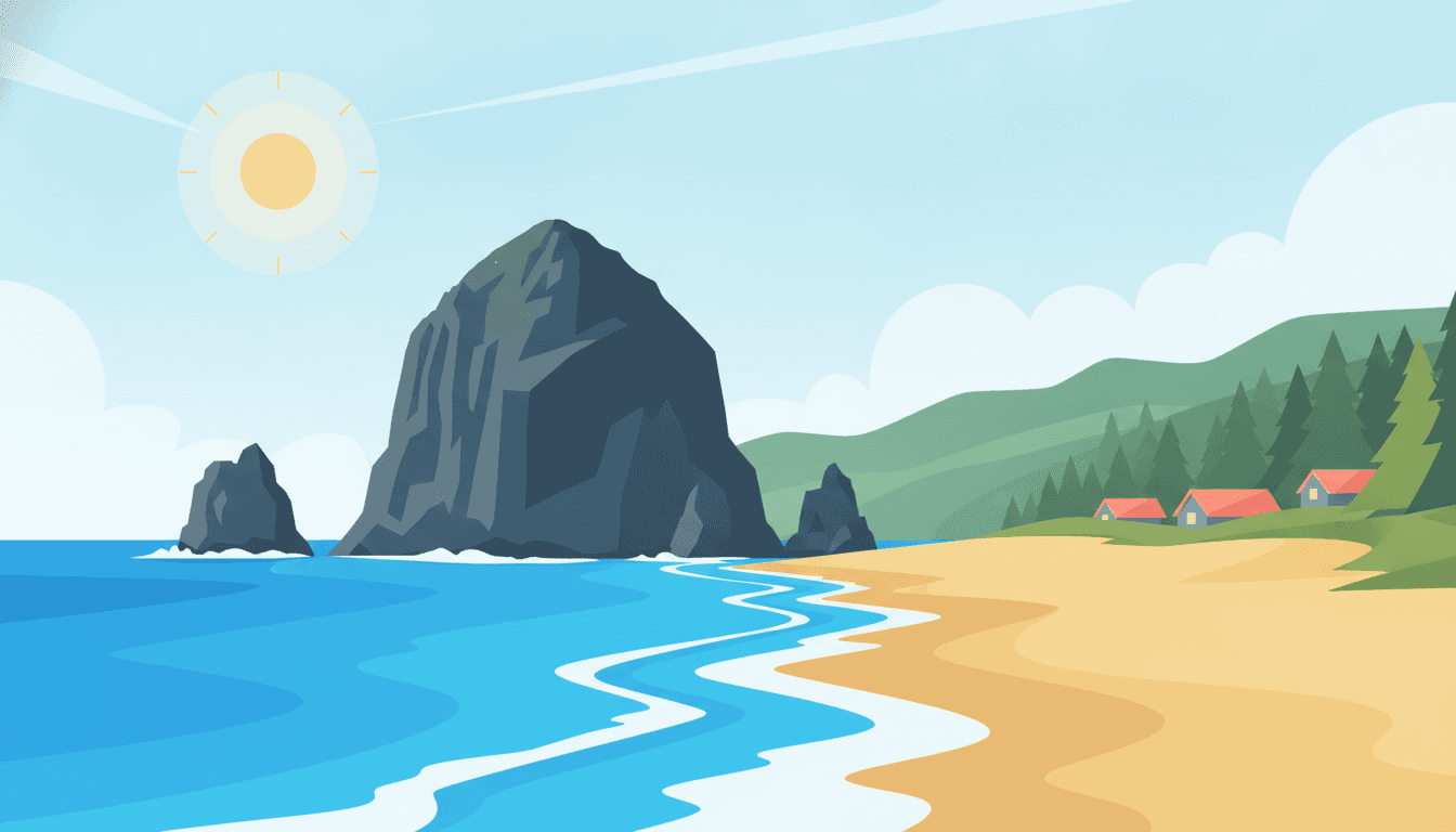
The drive down from Astoria opens onto this famous beach.
A few minutes north of Haystack Rock along the coast.
Overnight in Cannon Beach
- View
The Ocean Lodge
hotel · 2.5 km from the centre★ 4.8 · 2864 Pacific Ave, Cannon Beach - View
Hallmark Resort & Spa Cannon Beach
resort · 1.3 km from the centre★ 4.7 · 1400 S Hemlock St, Cannon Beach - View
Surfsand Resort
hotel · 0.9 km from the centre★ 4.7 · 148 W Gower Ave, Cannon Beach - View
Browse places to stay
Cannon Beach
Booking happens on the partner's site.
- Book Cannon Beach lodging ahead in summer — it's a popular weekend destination
- Ecola State Park has a small day-use fee, pay at the entrance station
- Parking near Haystack Rock fills fast midday — arrive early
- Oswald West State Park+9 mi
Old-growth forest walk to a hidden cove beach, short and scenic
- Fort Stevens State Park+12 mi
Historic military site plus a shipwreck visible on the beach
You trade a lighthouse cliff for a sand dune the size of a hill, then settle by a quiet lake.
A short detour west off the highway near Tillamook.
Arriving into Lincoln City, the lake sits just off the highway.
Overnight in Lincoln City
- View
Pelican Shores Inn
hotel · 2.5 km from the centre★ 4.7 · 2645 NW Inlet Ave, Lincoln City - View
The Coho Oceanfront Lodge
hotel · 1.6 km from the centre★ 4.5 · 1635 NW Harbor Ave, Lincoln City - View
The Inn At Spanish Head Resort Hotel
resort · 3.0 km from the centre★ 4.5 · 4009 SW Hwy 101, Lincoln City - View
Browse places to stay
Lincoln City
Booking happens on the partner's site.
- Tillamook Creamery is a popular roadside stop if you want a break — no reservation needed
- Cape Kiwanda parking lot is small — arrive before midday on weekends
- US-101 through Pacific City can be busy in summer — allow extra time
- Three Capes Scenic Loop+6 mi
Alternate coastal route past Cape Lookout with excellent whale-watching viewpoints
- Munson Creek Falls+11 mi
Tallest waterfall in the Oregon Coast Range, short walk from a small parking area
Spouting rocks give way to a lighthouse headland thick with seabirds, then a bayfront lunch by the water.
Just north of Newport, a quick detour to the headland.
A short drive from the bayfront to the bay's mouth.
Overnight in Newport
- View
Ocean House
hotel · 4.3 km from the centre★ 4.9 · 4920 NW Woody Way, Newport - View
Little Creek Cove Beach Resort
hotel · 3.3 km from the centre★ 4.7 · 3641 NW Oceanview Dr, Newport - View
Allred Hotel
hotel · 0.7 km from the centre★ 4.7 · 155 SW Elizabeth St, Newport - View
Browse places to stay
Newport
Booking happens on the partner's site.
- Newport's historic Bayfront district has limited parking — arrive early or expect to walk a bit
- Yaquina Head charges a small day-use fee, keep receipt for same-day re-entry
- Depoe Bay's seawall can get crowded on weekends — early morning is quieter
- Devil's Punchbowl State Natural Area+5 mi
A collapsed sea cave that churns dramatically at high tide, short walk from the lot
- Oregon Coast Aquarium+2 mi
A well-regarded aquarium if you want an easy indoor nature stop
You watch waves churn through Thor's Well, descend to wild sea lions in a cave, then face a sea of sand dunes.
South of Yachats, the highway climbs right into the scenic area.
A short drive further south along the highway.
Just south of Florence, the dunes begin along the highway.
Overnight in Florence
- View
Ocean House
hotel · 4.3 km from the centre★ 4.9 · 4920 NW Woody Way, Newport - View
Little Creek Cove Beach Resort
hotel · 3.3 km from the centre★ 4.7 · 3641 NW Oceanview Dr, Newport - View
Allred Hotel
hotel · 0.7 km from the centre★ 4.7 · 155 SW Elizabeth St, Newport - View
Browse places to stay
Florence
Booking happens on the partner's site.
- Cape Perpetua's Thor's Well is dangerous at high surf — view from the marked safe distance
- Sea Lion Caves elevator can have a short queue in summer
- Florence's Old Town has limited street parking — public lots are nearby
- Heceta Head Lighthouse+3 mi
One of the most photographed lighthouses on the coast, easy short walk from the parking area
- Darlingtonia State Natural Site+4 mi
A short boardwalk loop through a bog of rare carnivorous cobra lilies
Cliffside gardens give way to a beach of sea stacks glowing gold as the sun drops behind Face Rock.
A short detour from Coos Bay onto the Cape Arago Highway.
Arriving into Bandon in time for evening light on the rocks.
Overnight in Bandon
- View
Bandon Dunes Golf Resort
resort · 7.9 km from the centre★ 4.8 · 57744 Round Lake Rd, Bandon - View
Bandon Inn
hotel · 0.1 km from the centre★ 4.6 · 355 US-101, Bandon - View
Windermere on the Beach
hotel · 3.0 km from the centre★ 4.6 · 3250 Beach Loop Rd, Bandon - View
Browse places to stay
Bandon
Booking happens on the partner's site.
- Shore Acres State Park charges a small day-use fee, or use the Oregon Coast Passport
- Bandon's Old Town has free public parking lots near the waterfront
- Coos Bay stretch of 101 has few gas stations further south — fill up here
- Cape Arago State Park+3 mi
Further along the same road as Shore Acres, good spot for whale and seal watching
- Bullards Beach State Park+3 mi
Lighthouse and long sandy beach just north of Bandon, easy walk from the parking lot
You stand at Oregon's westernmost point at dawn and watch a wild river spill into the sea by evening.
Arriving into Gold Beach at the river mouth.
Overnight in Gold Beach
- View
Endicott Gardens Bed & Breakfast and Spa
guesthouse · 6.8 km from the centre★ 5.0 · 95768 Jerry's Flat Rd, Gold Beach - View
The Wildflower Inn
hotel · 0.2 km from the centre★ 4.9 · 29401 Ellensburg Ave, Gold Beach - View
Taylor Creek Lodge
guesthouse · 3.5 km from the centre★ 4.9 · 28311 Mateer Rd, Gold Beach - View
Browse places to stay
Gold Beach
Booking happens on the partner's site.
- Cape Blanco's access road is narrow and winding — take it slow
- Gold Beach has limited lodging — book ahead in peak summer season
- Fuel up in Port Orford, options thin out on this stretch
- Prehistoric Gardens+2 mi
Quirky roadside life-size dinosaur park, a fun break if curiosity strikes
- Rogue River Jet Boat Tours+0 mi
Popular guided boat trip up the wild Rogue River from Gold Beach
You drive through Oregon's most dramatic sea-arch corridor and end the trip on a quiet beach outside Brookings.
The highway threads right through this scenic corridor before Brookings.
Just north of town, a last easy stop before arriving.
In town, a short stroll to end the drive.
- Samuel H. Boardman has no single visitor center — use marked pullouts along 101
- Harris Beach parking lot fills on sunny days — arrive mid-morning
- Brookings is the last sizable town for fuel and supplies before crossing into California
- Natural Bridges Viewpoint+0 mi
Dramatic sea arches visible right from an easy overlook, part of the Boardman corridor
- Whaleshead Beach+1 mi
Secluded beach with a distinctive whale-shaped rock, short walk from the pullout
This route was drafted with AI. Please double-check roads, opening hours and local conditions before you go.
Questions, answered
- Which direction should I drive the Oregon coast?
- North to south. The ocean-side lane is yours, so viewpoints, beach access and the pull-outs at Cape Perpetua and Heceta Head are all right turns rather than left turns across oncoming traffic.
- When is the best time to drive the Oregon coast?
- September and early October: the summer fog has thinned, the crowds have gone home, and the storms haven't started. July and August are busy and often grey until lunchtime. Winter is dramatic and genuinely worth it if you like weather, but plan shorter days and expect closures after storms.
- How many days do you need for the Oregon coast?
- Five is comfortable, seven is better. The distance is modest: under 600 km end to end, but the stops are dense, and doing it in three means driving past the reason you came.
- Do I need to book accommodation on the Oregon coast?
- In summer and on any weekend, yes: the coastal towns are small and fill early, especially Cannon Beach and Yachats. Midweek in the shoulder season you can usually improvise.
Worth reading first
Other routes you might like
Utah National Parks Road Trip: Mighty 5 in 7 Days
Five national parks, one unforgettable week.
7 days · 1,017 mi

Yellowstone & Grand Tetons loop
Geysers, grizzlies and granite peaks.
6 days · 958 mi
Pacific Coast Highway Road Trip: SF to LA in 5 Days
America's most famous coastal drive.
5 days · 467 mi